River Engineering Services
We can calculate flood elevations, design river bank protection systems and design floodway encroachment mitigation measures.
We can help you understand, 1% probability storm, 50 year storms, floodplain, flood fringe, floodway, LOMA and LOMR and insure you comply with FEMA regulations.
Some FEMA flood elevations are based on very old information and need to be refined. We can calculate a more accurate elevation, solicit a LOMA or LOMR from FEMA, etc.; all of which may save a home owner the cost of flood insurance premiums.
Harding Engineering can help you wade through the regulations and get you the answers you need.
Flood plain analysis, refines Floodway and Floodplain boundaries.
This can save the customer:
- Thousands in un-necessary Flood Insurance premiums
- Delineate developable areas outside Floodplains
- Reduce the mitigation measures for development within the Floodplain
FEMA River & Floodplain maps were originally developed using USGS topographical data. Current data & data collection methods afford refined estimates of Storm generated flood flows. New technologies are improving precision of flood plain modeling, which could save the customers thousands of dollars and saving lives.
Past projects:
River Floodplain Inundations Mitigation Designs
Building within the Floodplain reduces area available for conveyance of flood waters, which results in an increase in water surface elevations. Harding Engineering can help develop your site to minimize the adverse impact of your project.
Floodwater Elevations Calculations
HEC-RAS Flood elevation calculations are used to validate Flood Insurance Studies [FIS] and to change Flood Insurance Rate Maps [FIRM] into FIS. Original FIRM’s & FIS’s were generated for every stream in the US, using 1938 elevation & topography data. Harding Engineering can determine the floodwater elevation at your site.
Floodplain Encroachment Mitigation Designs
Your company is located within the floodplain. How do you expand without moving? Harding Engineering can determine the adverse impacts and design mitigate measures to minimize the adverse impacts.
Finish Floor Determinations
Development within the Flood Fringe needs to be protected and a part of that is raising the finish floor elevation to above the theoretical flood elevation.
FEMA Flood Insurance Studies & Rate Map Validation & Revision
FEMA Flood Insurance Rate Maps [FIRM] & Flood Insurance Studies are gospel for determining whether the owner of a parcel must purchase Flood Insurance. Original FIRM’s & FIS’s were generated for every stream in the US, using 1938 elevation & topography data.
Harding Engineering can:
- Determine the current FEMA flood elevation at your site,
- Recalculate the theoretical flood elevation & petition FEMA for:
- A Letter of Map Revision LOMR or
- Get FEMA to Publish of Map amendment LOMA
Dam Retrofitting Design
Maintenance of Dams have been neglected for too long. Harding Engineering can show you the way through the maze of regulations, help you stop the leaks and protect your investment.
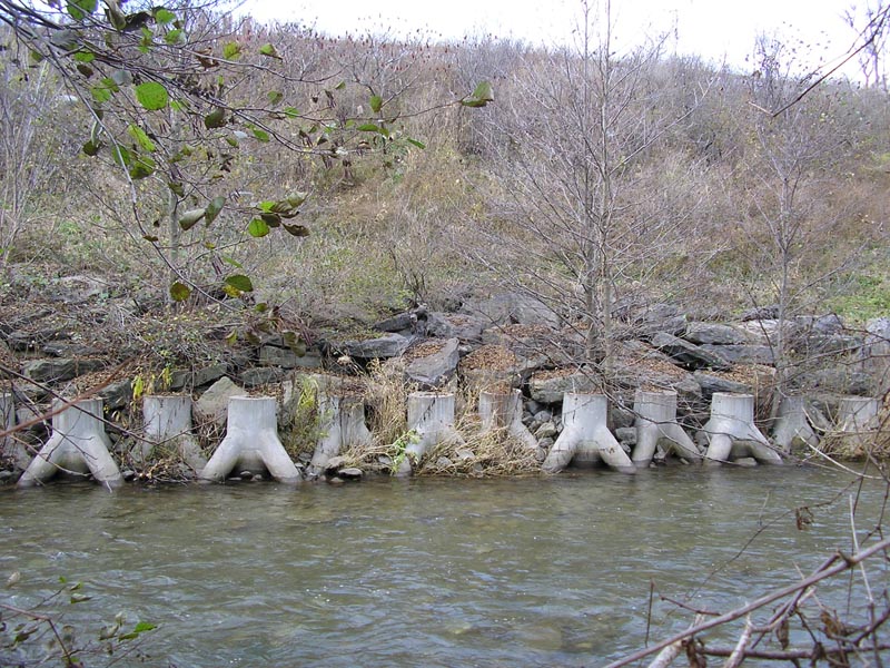
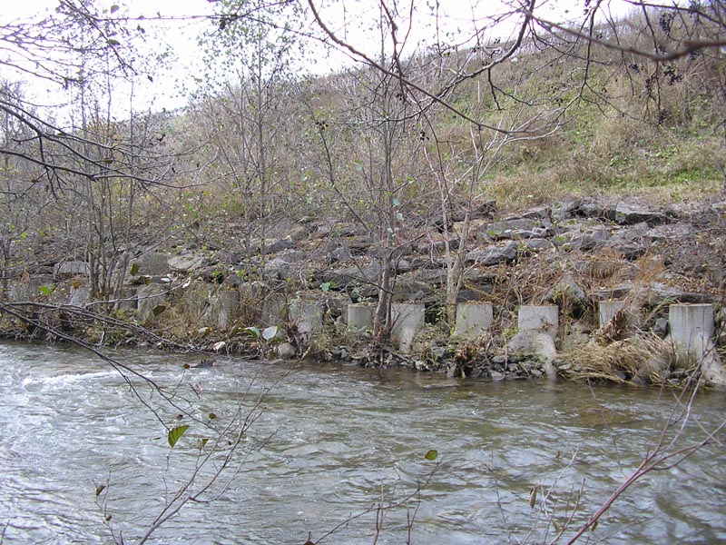
River Bank Stabilization Designs
Harding Engineering can help you maintain/restore your stream channel banks.
Stay Pods in New Hartford NY
Stay Pods in New Hartford NY
Colvert in Okara Lake
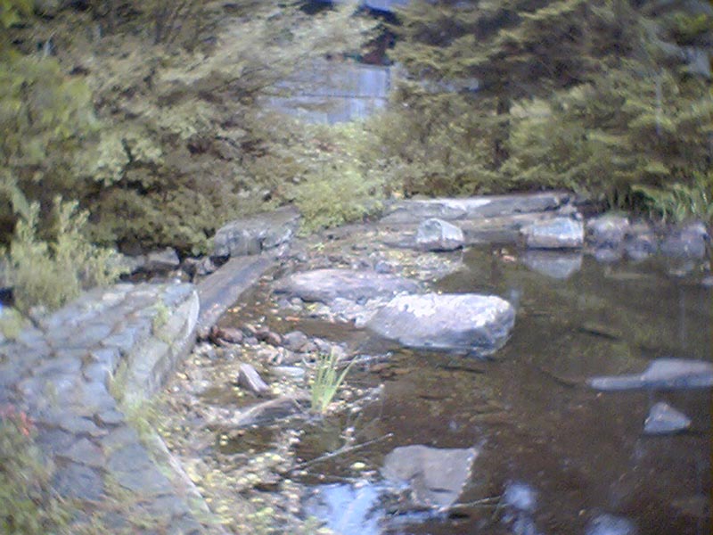
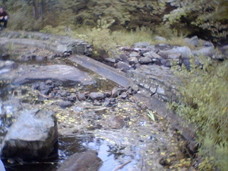
Willmert Club Dam
Willmert Club Dam
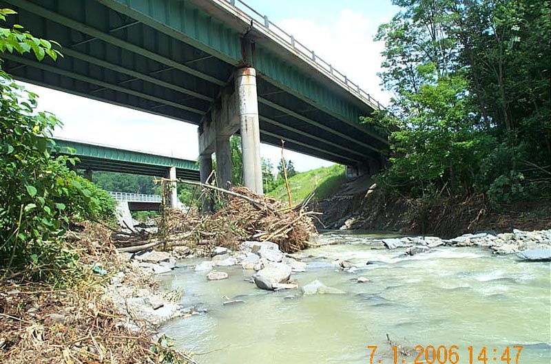
River in Binghamton NY
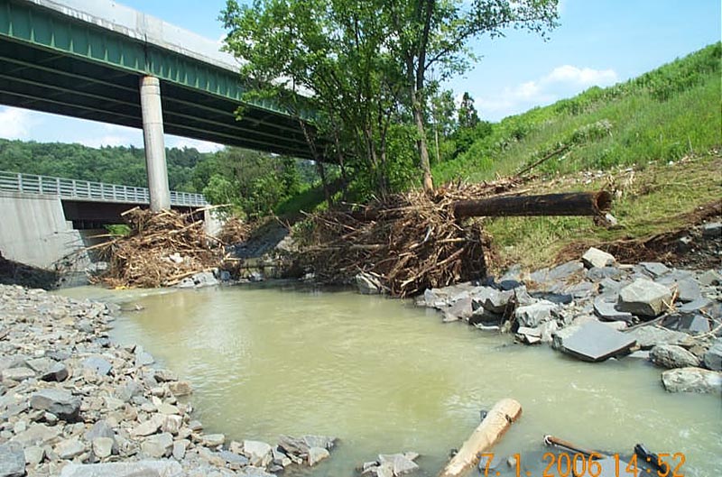
River in Binghamton NY
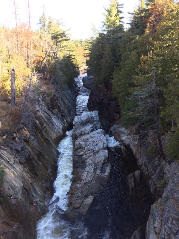
Ausable River Hydrology